
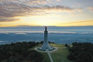
The Sky Island of Southern New England
At 3,491 feet, Mount Greylock is Massachusetts’ highest peak and one of southern New England’s most striking climatic outliers. The summit rises above the surrounding Berkshires as an ecological island, where colder air, a shorter growing season, heavier precipitation, and severe winter exposure create conditions more typical of northern Canada than of the valleys below. This is the practical meaning of a boreal sky island: elevation compresses latitude, allowing northern forest communities to persist far south of their main geographic range.
That ecological rarity also creates responsibility. Mount Greylock’s high-elevation spruce-fir forest is a relic subalpine habitat under pressure from warming temperatures, atmospheric deposition, invasive species, and concentrated recreation. The reservation was designated Massachusetts’ first wilderness state park in 1898, and visitors planning a trek or field study should begin with the current guidance provided by the Mount Greylock State Reservation. The goal is not to exclude people from this living laboratory, but to make access compatible with the long-term survival of its most fragile communities.
Atmospheric Mechanics Behind Greylock’s Microclimate
Greylock’s weather begins with elevation and moving air. As moist air encounters the Berkshires, it is forced upward, a process known as orographic lift. Rising air expands in lower atmospheric pressure and cools adiabatically, meaning the temperature falls because the air expands rather than because heat is directly removed. Once the air reaches saturation, clouds form, precipitation increases, and the summit may disappear into cloud while the valleys remain clear.
The result is a sharp vertical weather gradient. A hiker leaving Adams or Lanesborough may begin in comparatively mild, visible conditions and reach a summit environment that is several degrees colder, wetter, and much windier. The average environmental lapse rate of the ambient atmosphere is roughly 3.5 degrees Fahrenheit per 1,000 feet, although actual differences vary with season, humidity, inversions, and storm structure. A valley forecast therefore cannot be treated as a summit forecast. A temperature that feels comfortable at the trailhead may correspond to near-freezing conditions above the tree line, especially when wind strips heat from exposed skin.
Cloud immersion adds another layer of stress. Supercooled droplets carried by wind can freeze onto branches, railings, signs, and clothing, forming rime ice. Repeated freezing and thawing weakens soil structure, loosens rock, and turns trail surfaces into a succession of mud, ice, and compacted mineral soil. Persistent wind trims trees into krummholz, a German term commonly used for the low, irregular growth forms produced when trees cannot develop normally above the protective forest canopy. Before departure, review the National Weather Service’s Mountain Point Forecasts, paying attention to cloud cover, wind, precipitation type, and the possibility of summit icing.
| Condition | What it means in the field |
|---|---|
| In and out of clouds | Visibility may change quickly, with wet surfaces and intermittent navigation problems. |
| Obscured in clouds | Landmarks can disappear, and wind, cold, and moisture may persist for hours. |
| Above the clouds | Clear views are possible, but exposed terrain can still have strong wind and freezing temperatures. |
| Freeze-thaw cycling | Expect unstable footing, mud, ice, and increased erosion risk around heavily used routes. |
Profile of the Subalpine Spruce-Fir Biome
Above roughly 3,000 feet, Mount Greylock supports a distinctive boreal community dominated by red spruce, Picea rubens, and balsam fir, Abies balsamea. These trees tolerate cold, acidic conditions and a short growing season, but they are not invulnerable. Their soils are often shallow, nutrient-poor, and easily disturbed. Roots may occupy thin organic layers over rock, leaving little margin for repeated trampling, shortcutting, or the widening of informal paths.
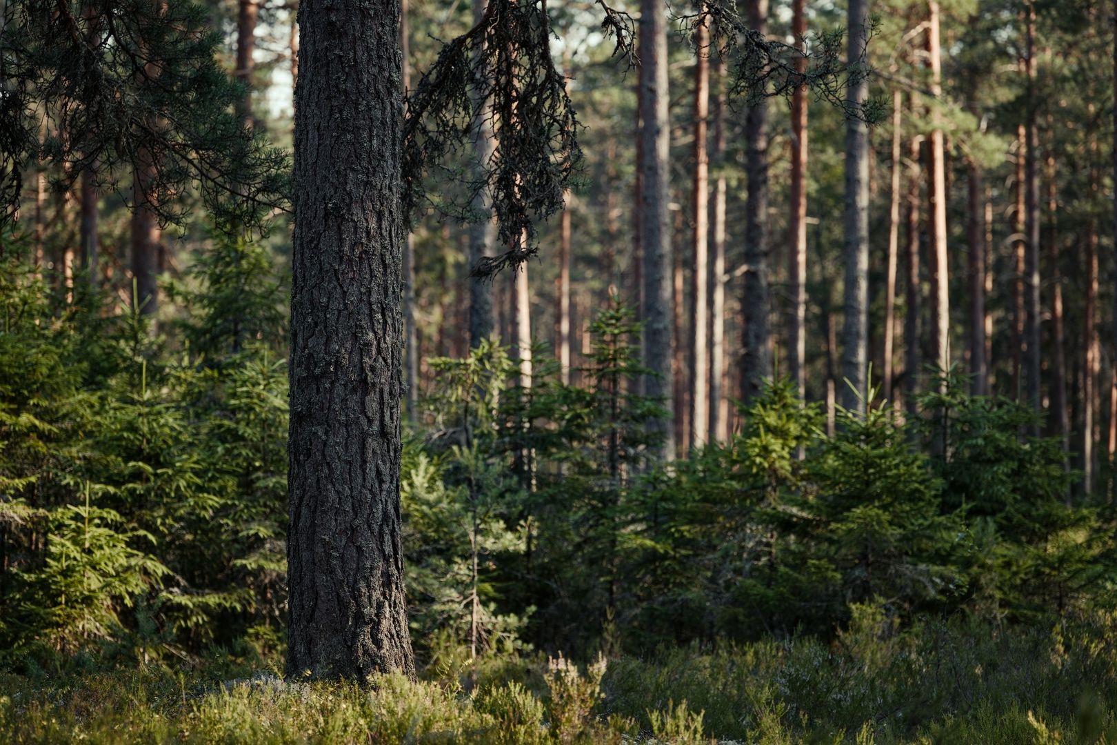
Mount Greylock’s high forests also provide important habitat for birds that require cool, structurally complex montane environments. The 12,496-acre Important Bird Area includes spruce-fir and northern hardwood forests and supports numerous priority breeding species. Massachusetts’ entire breeding population of Blackpoll Warblers is associated with the site, while Mourning Warblers also breed there. Bicknell’s Thrush historically bred near the summit but has been absent as a breeding species since 1972, a reminder that habitat presence does not guarantee that a sensitive species will remain.
Relict communities are vulnerable because their suitable climate is already confined to isolated mountaintops. A modest temperature increase can shift the balance toward deciduous trees, pests, drought stress, and longer growing seasons for competing plants. Atmospheric pollutants can alter soil chemistry, while trail erosion removes the thin substrate that supports roots and ground-layer vegetation. Field observers should treat every unusual plant, bird, or phenological change as potentially valuable information, but observation must never become disturbance.
- Red spruce and balsam fir form the principal upper-elevation forest signature.
- Shallow, acidic soils make roots and ground vegetation highly sensitive to compaction.
- Priority birds use the forest for breeding, feeding, and seasonal movement.
- Rare plants and invertebrates may occupy very small, easily damaged habitat patches.
- Climate warming can reduce the area capable of supporting boreal conditions.
Essential Field Protocols for High-Elevation Explorers
Start with the basics: plan for the summit, not the parking area. A reliable field system uses a moisture-managing base layer, an insulating layer, and a windproof or waterproof shell. Carry gloves, a warm hat, spare socks, water, food, a headlamp, navigation tools, and an emergency layer even when the valley forecast looks benign. In winter or shoulder seasons, traction equipment may be necessary, but conditions can change rapidly enough that equipment must be selected for the actual route and current surface conditions.
A bailout plan should be decided before the ascent begins. If cloud thickens, visibility collapses, wind rises, or clothing becomes saturated, do not wait for discomfort to become an emergency. Turn around while the route is still identifiable, use a confirmed trail junction rather than an improvised shortcut, and communicate the change to anyone expecting a return time. Mountain forecasts are useful because they describe conditions at elevation, but they do not replace judgment, an offline map, or a conservative turnaround decision.
- Check a mountain-specific forecast for temperature, wind, precipitation, cloud cover, and lightning risk.
- Compare the summit outlook with the trailhead forecast to identify the likely temperature and visibility shift.
- Pack layered clothing, navigation backups, food, water, illumination, and basic emergency supplies.
- Set a turnaround time and identify a route back before entering exposed or confusing terrain.
- Stay on durable trail surfaces, especially where spruce and fir roots are exposed.
- If conditions invert, stop, add insulation, reassess visibility, and retreat before fatigue reduces options.
Digital planning should use point-specific mountain metrics instead of a generic low-elevation weather app. The National Weather Service mountain forecast pages explain sky-cover codes such as in and out of clouds, obscured in clouds, and above the clouds. They also provide lightning-risk categories ranging from no risk to widespread coverage. These details help translate a forecast into decisions: whether views are likely, whether navigation may become difficult, and whether exposed ridges should be avoided during storms.
Trail ethics are equally technical. A bootprint on soft subalpine soil can become a drainage channel, and a shortcut can expose roots that cannot recover quickly. Walk single file where appropriate, avoid widening the trail, keep pets leashed as required, and carry all waste out. Do not collect plants, move rocks, approach wildlife, or use drones in prohibited areas. Field notes, photographs from established surfaces, and repeat observations provide useful information without adding physical pressure to the habitat.
Conservation Strategies and Long-Term Stewardship
Mount Greylock’s conservation history reflects sustained public concern about development and overuse. The state reservation protects historic summit ridgelines, forest, water resources, and recreation landscapes, while the wider Important Bird Area recognizes the ecological significance of the mountain. Threats identified for the site include recreational development and excessive use, along with invasive plants, pollution, and ecological succession. Conservation therefore requires more than preserving a boundary. It requires active management of how people move through sensitive terrain.
Monitoring makes that management more precise. Summit stewards and trained observers can conduct plant surveys, photopoint monitoring, phenology tracking, wildlife observations, and bird surveys. Repeated observations reveal whether flowering is shifting, whether tree regeneration is changing, or whether a trail edge is expanding. Indicator species are especially valuable because their presence or absence can signal broader ecological changes, although individual observations need careful documentation and should not be overinterpreted.
- Use hardened trails, established viewpoints, and designated camping areas.
- Support visitor education that explains why apparently empty ground may contain rare vegetation.
- Report erosion, fallen infrastructure, invasive plants, and unusual wildlife observations through appropriate park channels.
- Respect seasonal closures, hunting regulations, pet requirements, and restrictions on drones and motorized recreation.
- Favor visitor-flow designs that concentrate traffic on durable surfaces while protecting wetlands, roots, and steep slopes.
Modern infrastructure can reduce damage when it is carefully placed and maintained. Defined trail corridors, drainage features, signs, viewing areas, and accessible interpretive routes can keep visitors from spreading across fragile ground. Projects in the broader Greylock landscape, including proposals connected with Greylock Glen, illustrate the need to balance access, wetland protection, education, flooding, and habitat continuity. The strongest design principle is simple: make the responsible route the clearest, safest, and most rewarding route available.
Tread Lightly Across the Subalpine Canopy
Mount Greylock’s northern boreal enclave is an irreplaceable living laboratory in southern New England. Its spruce-fir canopy, cloud-wrapped ridges, rime-forming weather, and specialized wildlife communities demonstrate how altitude can create a small island of northern ecology far south of the Canadian forest zone. The same isolation that makes the system scientifically valuable also makes it vulnerable. There is little room for displaced species, damaged soil, or repeated unmanaged disturbance.
Every ascent can therefore become an act of stewardship. Check the elevation-specific forecast, carry equipment for the worst reasonable conditions, keep a clear retreat plan, remain on durable surfaces, and observe without collecting or disturbing. Naturalists can add value through careful records and repeat monitoring, while hikers protect the resource through restraint. A clear signal from the mountain is that access and conservation are not competing goals when preparation, judgment, and Leave No Trace practice guide every step.